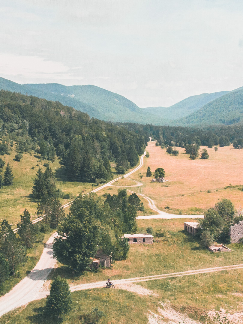
The GLR 49
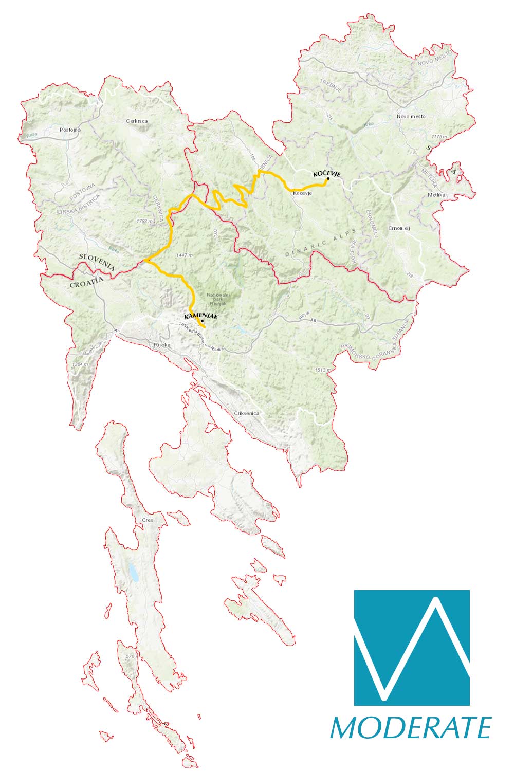
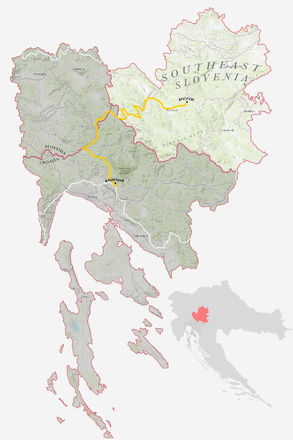
The GLR 49 explores the rugged terrain of Northern Croatia and crosses the border into Southern Slovenia with its endless forests. From the Kamenjak in Croatia to Kočevje in Slovenia, go on an adventure with this 125km adventure route with 78 kilometers of off-road sections! Don’t wait and adventurise this GLR!
The GLR 49
| Kamenjak - Kočevje | 125km | ||
| 78.3km off-road | May / September |
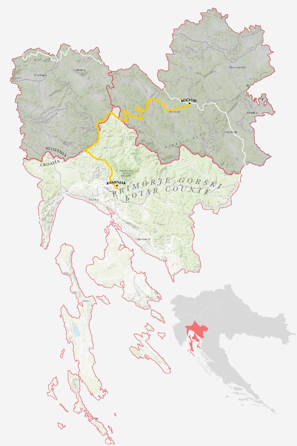
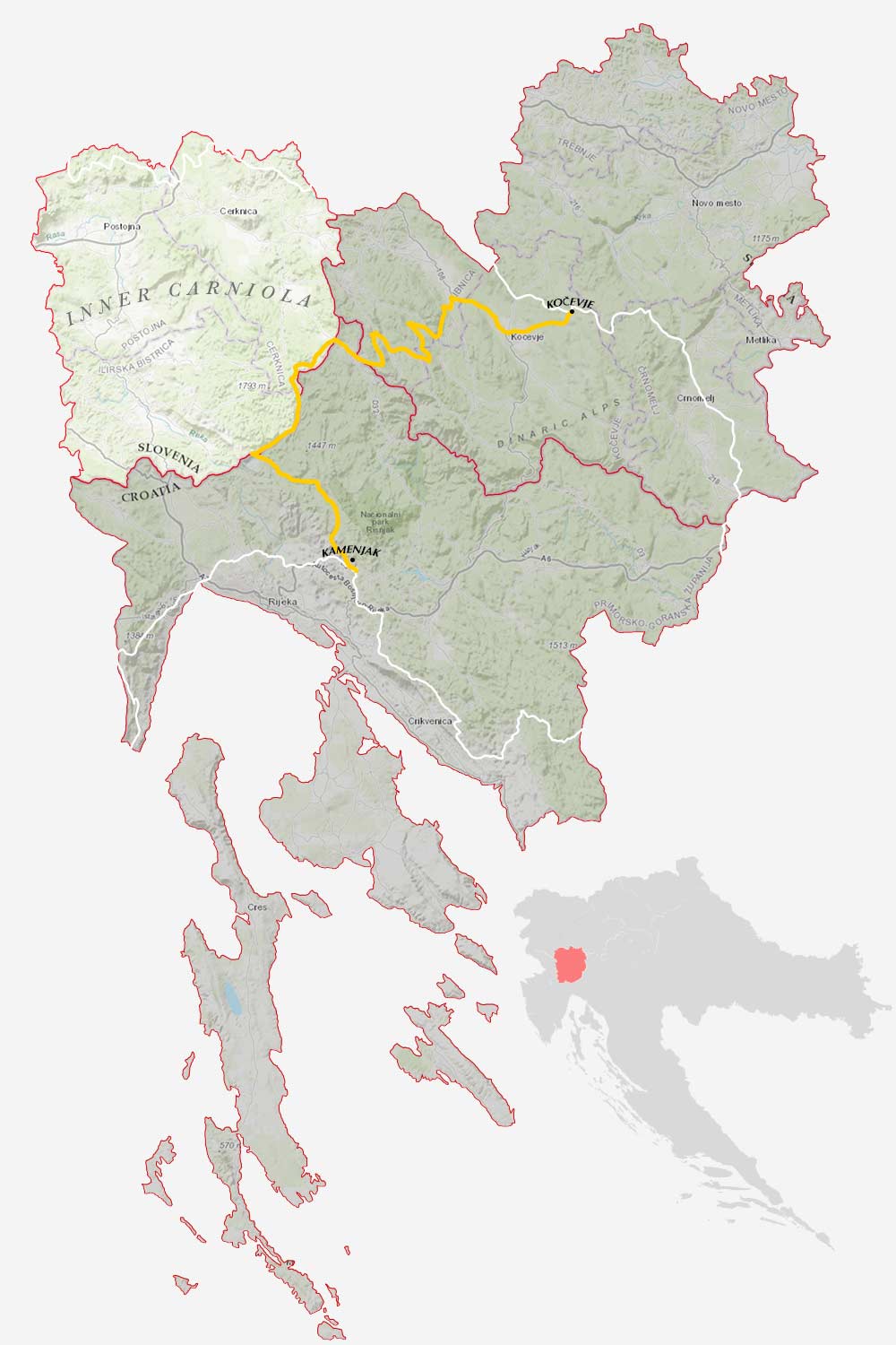
The GLR 49 motorcycle adventure route leads you for over 125 kilometers through the Primorje-Gorski Kotar County of Croatia and the Inner Carniola & South-east Slovenia regions of Slovenia. 78 of those kilometers will traverse over off-road sections. If the going gets tough, The Back-up Tracks will support you with 3 different sections. With a total of 3 connecting GLRs to this GLR 49, you’re able to continue to Adventurise the region. Let’s get going!
The GLR 49 is a Moderate route and can be challenging for beginning adventure riders. More information about the GLR Route Gradings System.
Route info
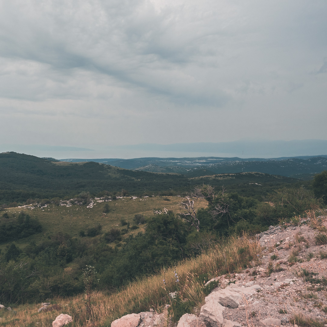
Overlooking the Kvarner Bay at Kamenjak, you’re embarking on your upcoming adventure on the GLR 49. 125 Kilometers towards the northeast, eventually crossing the border into Slovenia. With an off-road percentage of almost 63%, this is going to be an adventurous one! Are you ready?
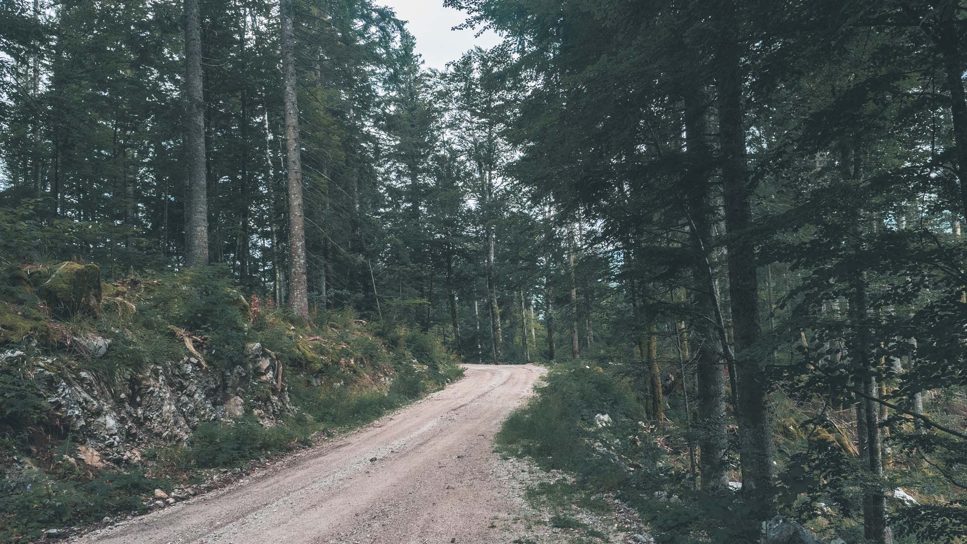
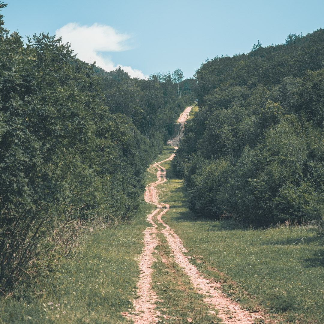
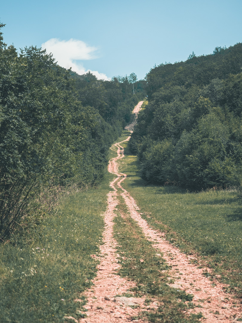
From your starting point at the overview, you head towards the north. You follow this mountain road for 9 kilometers, up until you reach your first off-road section. Make sure you’ve fueled up before because there’s a massive 45km off-road section waiting ahead. This road stays on the outlines of the Risnjak National Park to the east.
After about 17 kilometers, you come across the first intersection of the Back-up Track Section 1. A mere 400 meters further, this diverges into Section 2. Albeit a good option to have these Back-up Tracks available, I wouldn’t recommend following the GLR 49 if you’re not confident off-road.
It’s also at this intersection where you cross the border into Slovenia. Although it’s a legal road to traverse over, the border crossing is a bit disputed. Please be aware that Croatia still has active border security, and they might ask about your papers!
When you’ve made your way back to the paved road, it’s time to cross the border back into Croatia briefly. With briefly, I mean 5 kilometers of Croatia before crossing the border back into Slovenia. Make sure to fuel up when you’re running low because there’s some major forest road network ahead of you!
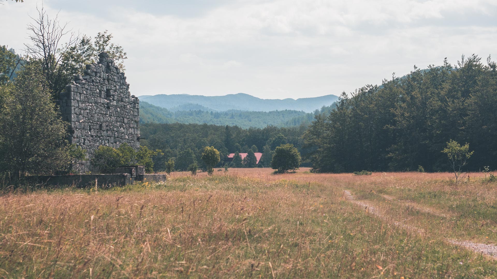
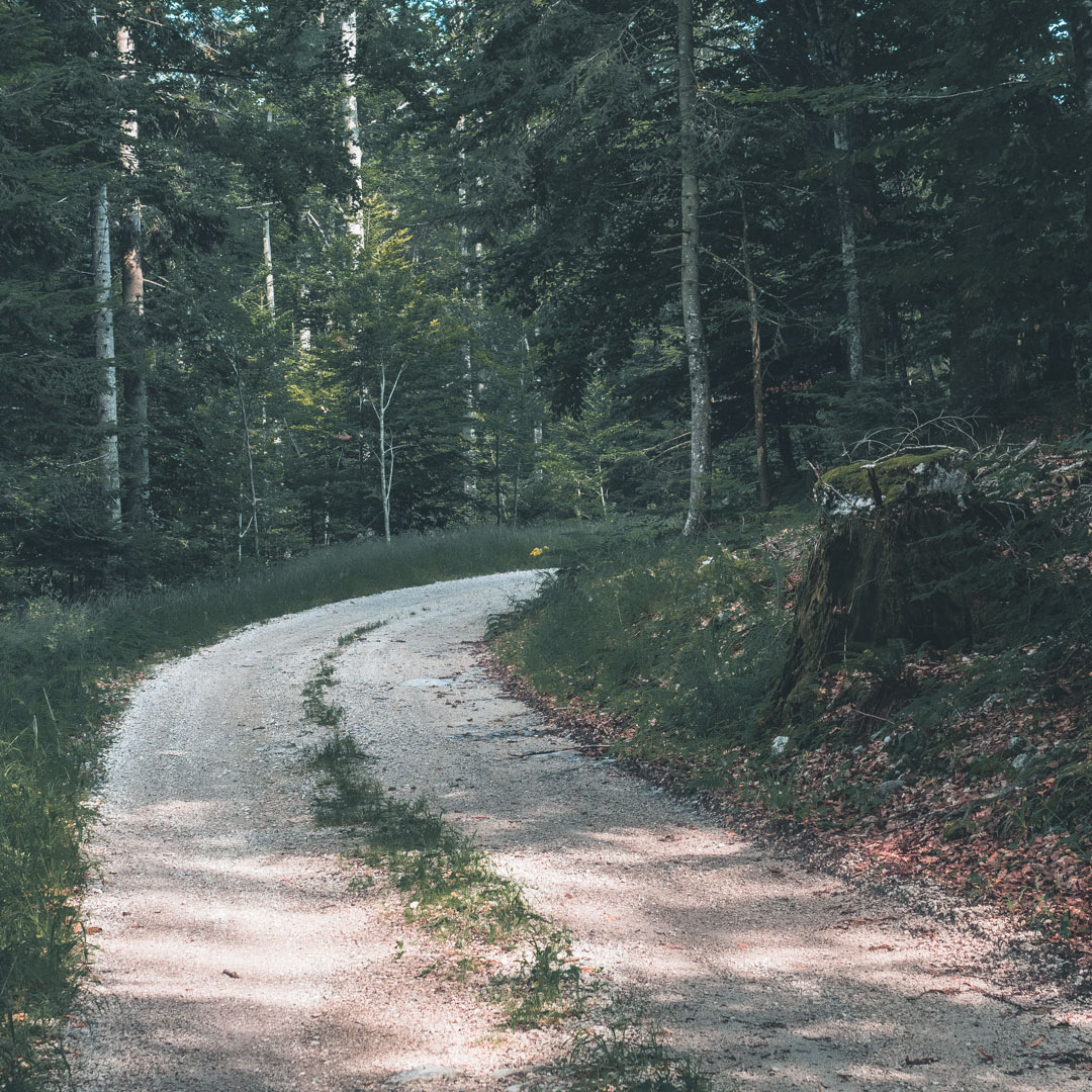
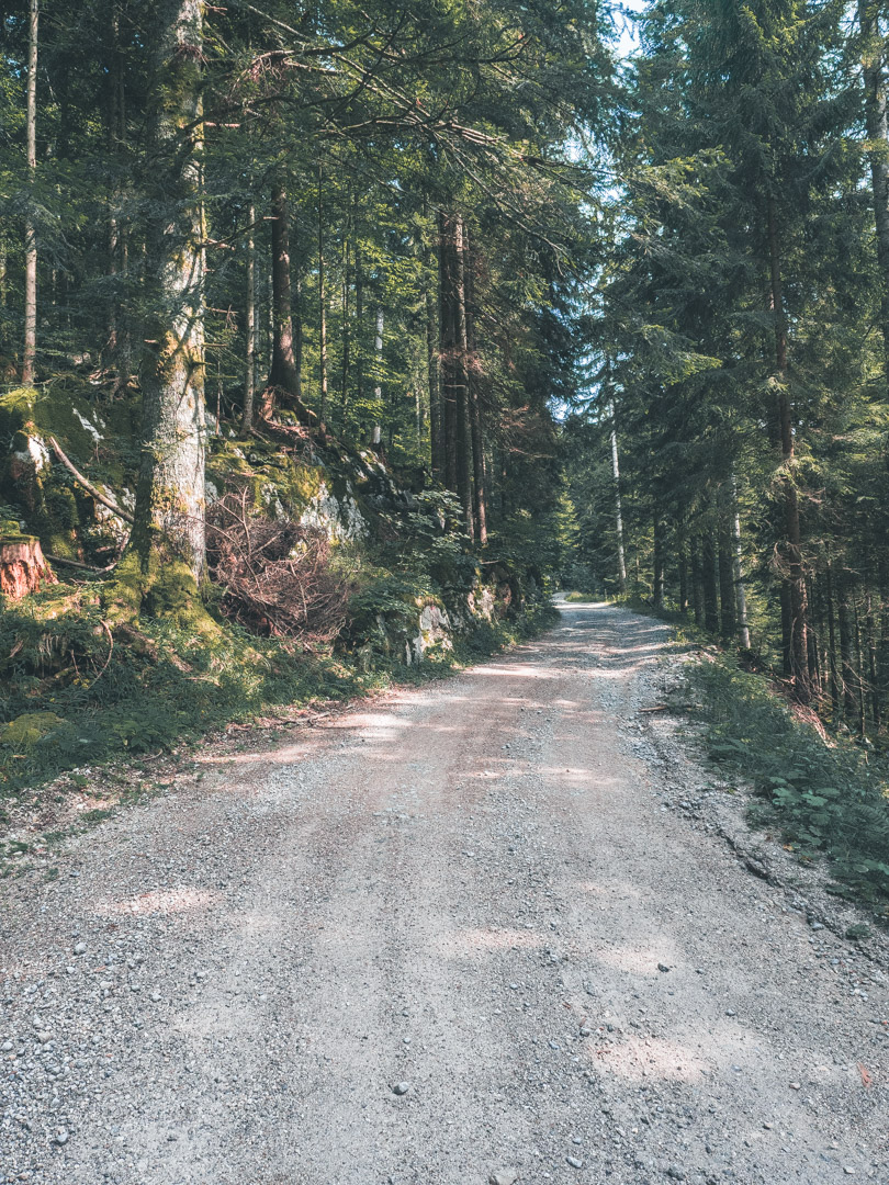
This forest road network stretches for many kilometers, and I’ve been lost even with GPS! So please take your time while navigating, and don’t make the same mistake as I did. Other than that, please enjoy this almost 30-kilometer long off-road section!
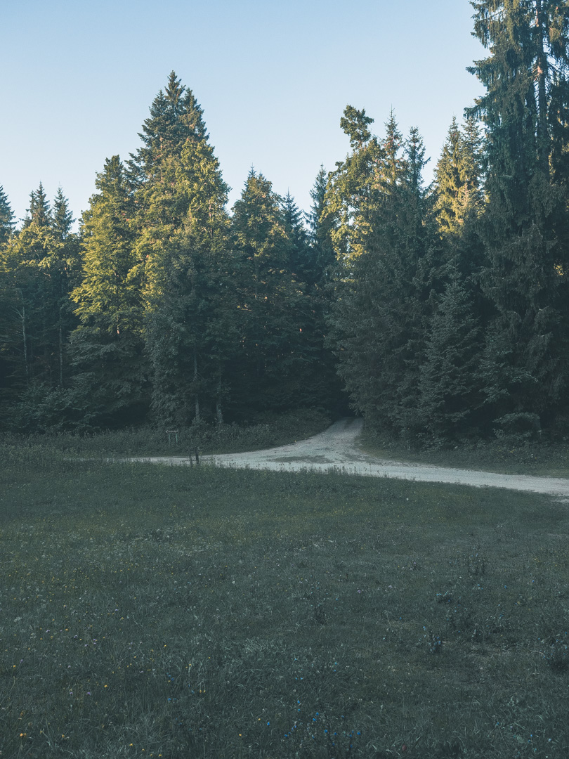
Back on the pavement, you’ll head into the eastern direction towards your destination at Kočevje. Be aware this route ends off-road! The last 4,5 kilometers are traversing over wide deforestation roads. If you want to continue on a paved road with one of the connecting GLRs, please follow the Back-up Track Section 3 towards the on-road intersection.
Do you want to know more about these connecting GLRs? Please see the connections section down below.
The Primorje-Gorski Kotar County of western Croatia translates literally to Coastal-Hills County. The county comprises some larger regions like the highlands of the Gorski Kotar region and the Kvarner Gulf of the Croatian Littoral region. With a population of around 300k inhabitants, mostly located in the coastal towns, the Primorje-Gorski Kotar County feels like the Mediterranean, but without the tourists.
The Kvarner Gulf, sometimes referred to as the Kvarner Bay, is located in the Northern Adriatic Sea, just between the Istrian Peninsula and the Northern Littoral mainland. Its largest islands like Cres, Krk, Pag, Rab, and Lošinj are visible from the mainland. The bay is also the densely populated area of the region.
To the North, you’ll find the green lungs of Croatia. Sometimes referred to as Croatian Switzerland. This highland area is a dream for us as adventure riders. With its peaks rising above 1500m and 63% of its surface is forested, you’ll find yourself riding amongst the endless forest roads.
This region is best explored during the spring and autumn months due to its wet and sometimes stormy summers. Expect during the summer months temperatures above 35 degrees celsius.
The Inner Carniola region is the smallest and least populated region of Slovenia. This South-Western region is especially known for its dense forests. With its most famous natural landmarks the Postojna Cave and Lake Cerknica, it isn’t the most spectacular region to explore.
But why would you explore this region then? Well, it has an immense network of forest roads crossing through almost every forest. Combine this with an extremely low population density and almost no tourists, and you have yourself the perfect place to adventure ride.
One important side note, bears are living in the forests! So be aware when you’re planning to camp. Always hide your food outside the camp!
The statistical region of Southeast Slovenia is best known for its quietness. Far away from the large cities like Ljubljana and Maribor. Southeast Slovenia consists of 21 independent municipalities. The region has no other function than just a statistic.
Endless forests and rolling hills cover the landscape of this region. There’s no need to worry about crowded places with tourists strolling around. Southeast Slovenia attracts only 3% of Slovenia’s tourists, so that means there’s a lot left for us as adventurisers.
More than half of Slovenia is forested, and this region is no exception. It’s here where you’ll find endless forest roads, with even more opportunities to get lost. It is in the Kočevje municipality where you’ll find remnants of primeval forests. If you love to explore winding forest roads, this is the region for you!
Combine this with the Dinaric Alps of southern Slovenia, and you have adventure rider heaven. The Dinaric Alps are one of the most rugged mountainous areas of Europe besides the Alps, the Pyrenees, and the Scandinavian Mountains.
Download the GLR 49
Thank you for downloading the GLR 49! Good luck with Adventurising Europe. Speaking of Adventurising Europe, to keep the project going and free, we’re relying on a mix of sponsored advertisements and Adventuriser donations. Do you like what we’re doing and you want to support the project? Please consider a donation. You can read more about donations and support here.
Adventurising Europe
2021 is going to be your year! No more sitting inside waiting for better days. Let’s get out there and explore Europe together. Let’s Adventurise Europe in 2023.
Use the tools like The GLR Network, The Build Stories, and The Field Notes, provided here on the website. Tell me about your plans, difficulties, doubts, or concerns. Let’s work together on a plan for you to Adventurise Europe in 2023.
Connecting Routes
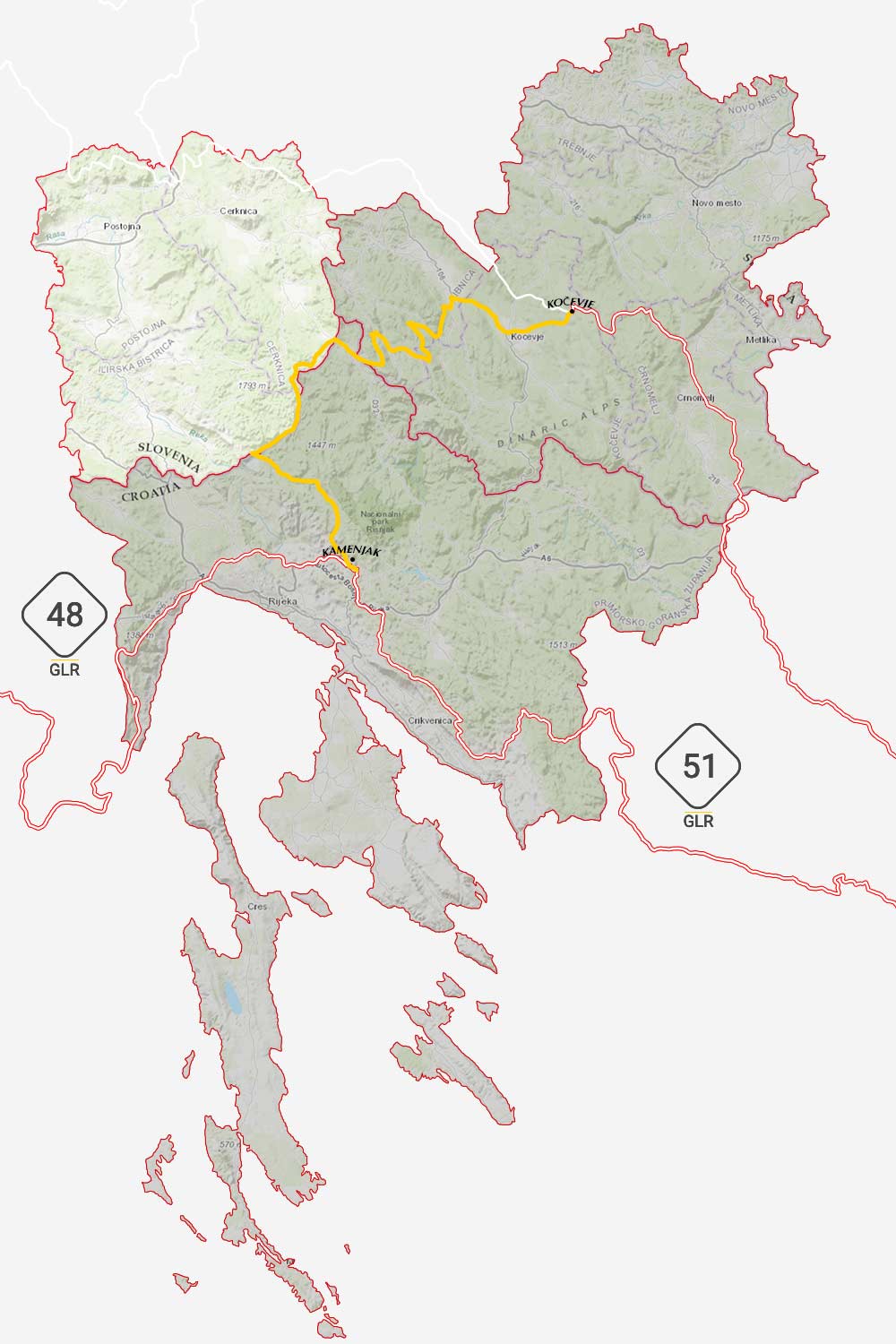
Connections in Kamenjak
On top of a hill near the Northern Croatian Town of Kamenjak, the GLR 49 comes to an end. But don’t be fooled! Here you’re able to continue your motorcycle adventure in two distinct directions. From your vantage point, you see the Istrian peninsula.
The GLR 48 will guide you through this beautiful region and eventually across the border into Slovenia. With a total length of 361 kilometers, be prepared to spend several days on this adventure route. With 113 kilometers of off-road sections, this GLR is an adventure worthy one!
Or look to the south. This region is explored by the GLR 51. With 167 kilometers of length, this adventure route leads you down south towards the Bosnian border. With 37.6 kilometers of off-road sections and many more unholy potholed roads, this is one of my personal favorites in the region.
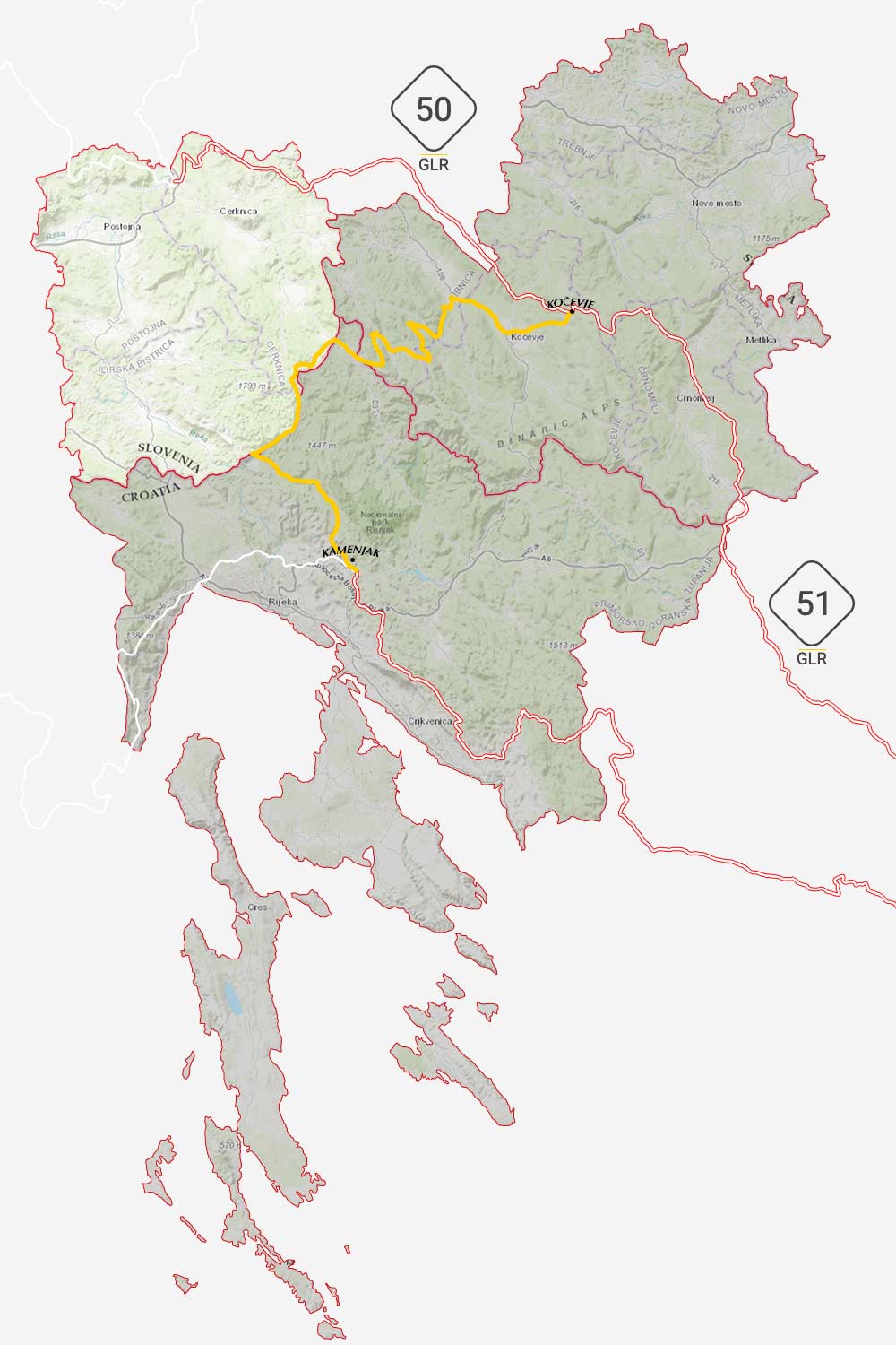
Connections in Kočevje
In the middle of the forest, at the far end of the GLR 49 at Kočevje, you’re again able to continue your journey with two different routes. Be aware! The GLR 49 ends off-road which means that the back-up route connects at a different point.
First, take the GLR 50 up north. This rather short adventure route connects all the different routes in the region. With a total length of 93 kilometers, of which 35,5km traverse over off-road sections, this route ends at Ivanje Selo. Choose this route to explore the border region between Croatia and Slovenia.
Or choose to follow the GLR 52 down south to the Bosnian Border. With 164 kilometers of length and the off-road sections biased to the north and south, this is a great route to finish within one day. This route is best-ridden during the spring and summer months.
Become an Adventuriser
More Places
Slovenia
Become a Patreon
Support Going Limbo Monthly
Become a GLR Patreon member and receive access to the newest 5 GLRs before everybody else!
