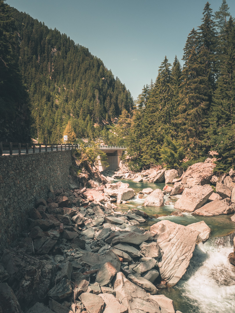
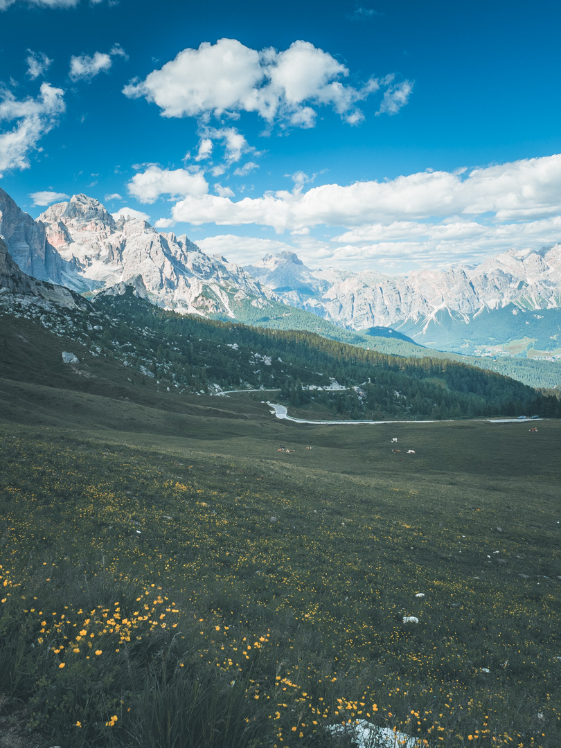
The GLR 32
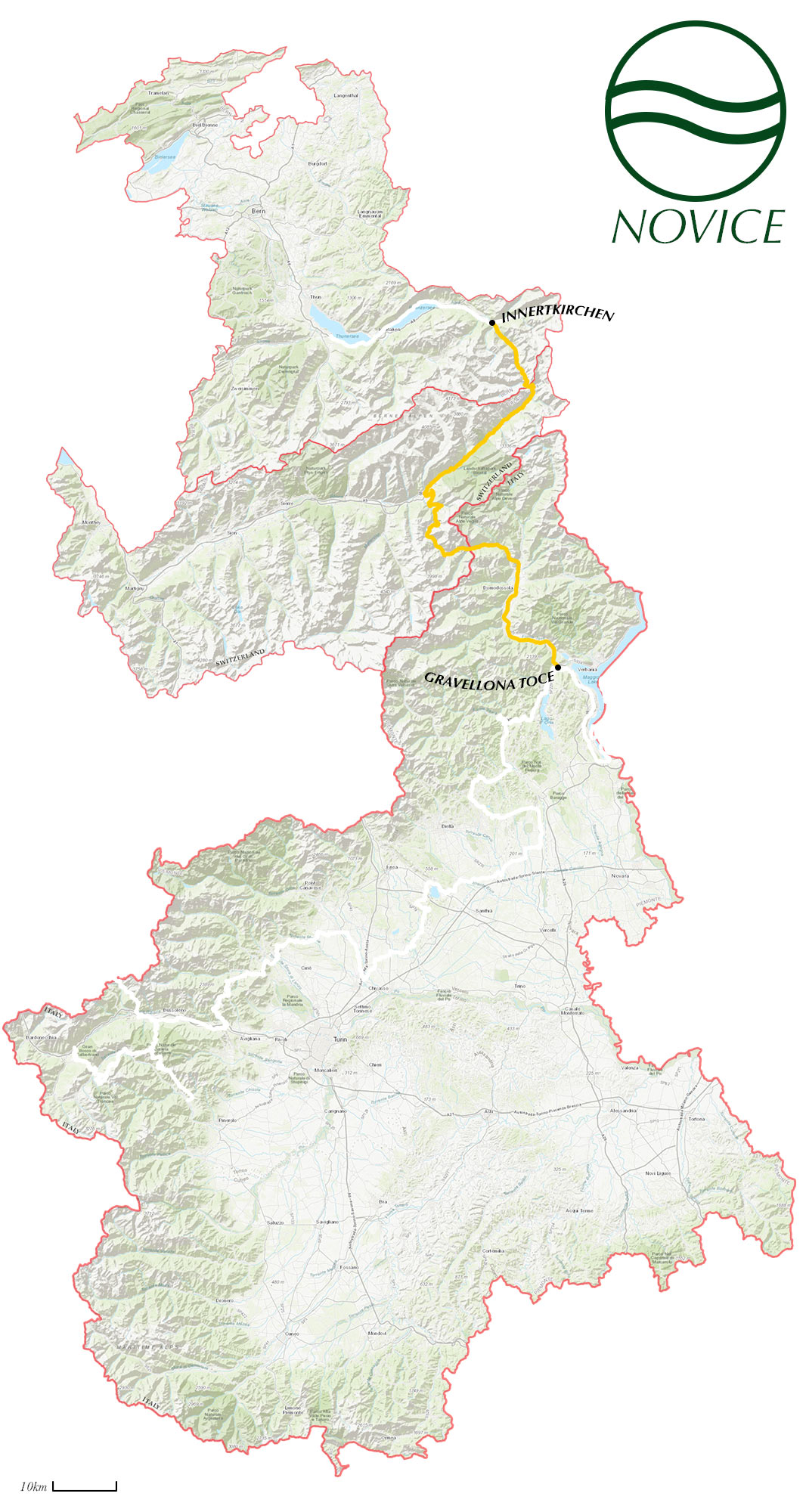
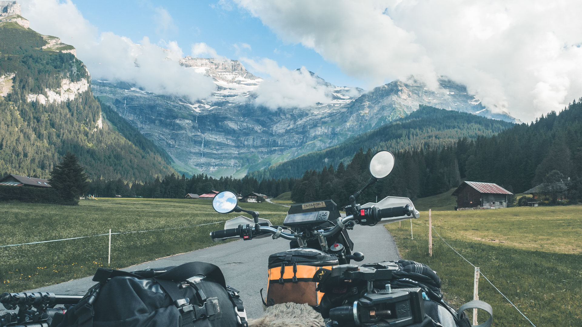
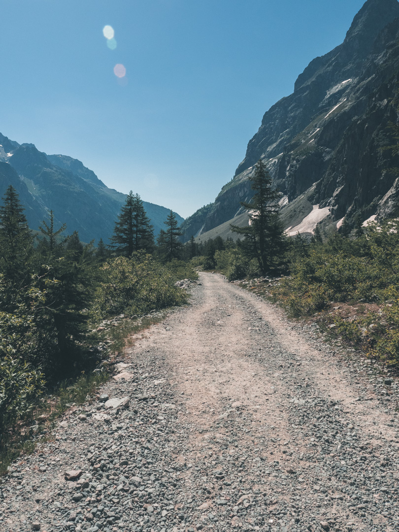
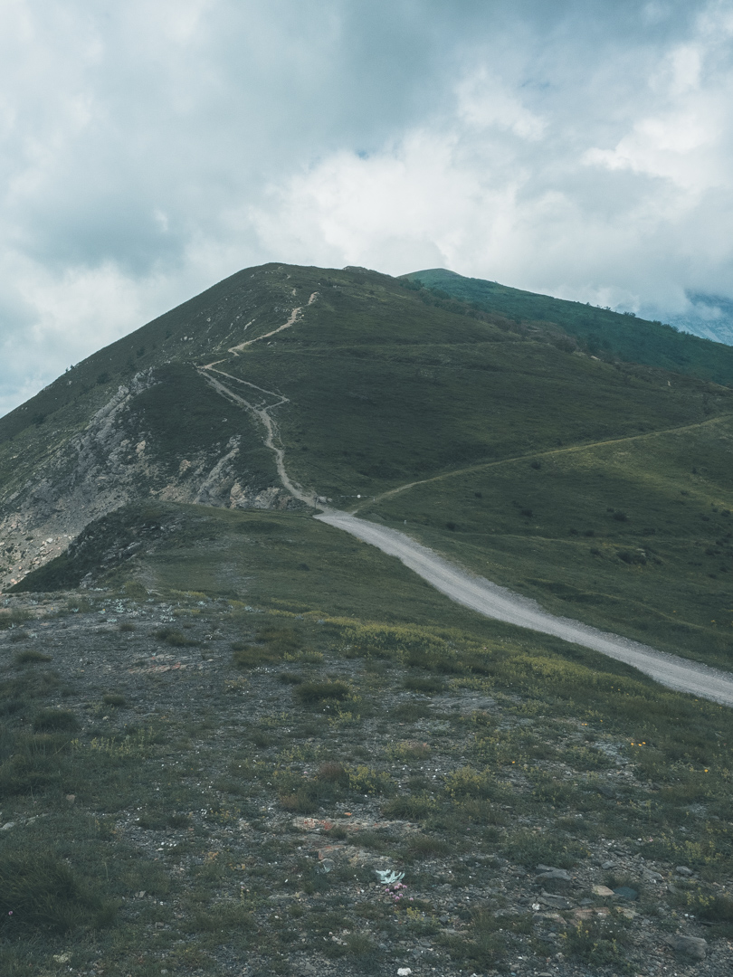
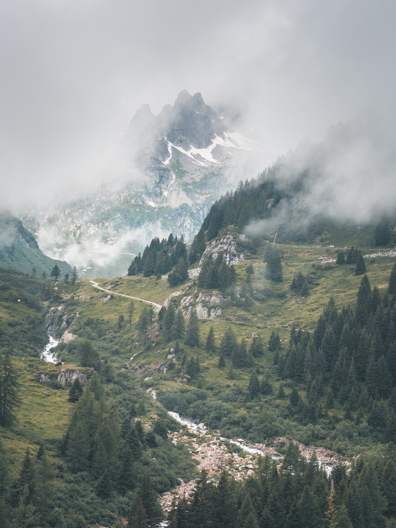
Start your 176-kilometer long motorcycle adventure with some spectacular glacial views! Explore Northern-Italy and Southern-Switzerland with this route!
The GLR 32 “Glacial Adventure Route”
| Gravellona Toce - Innertkirchen | 176km | ||
| 0km off-road | May / September |
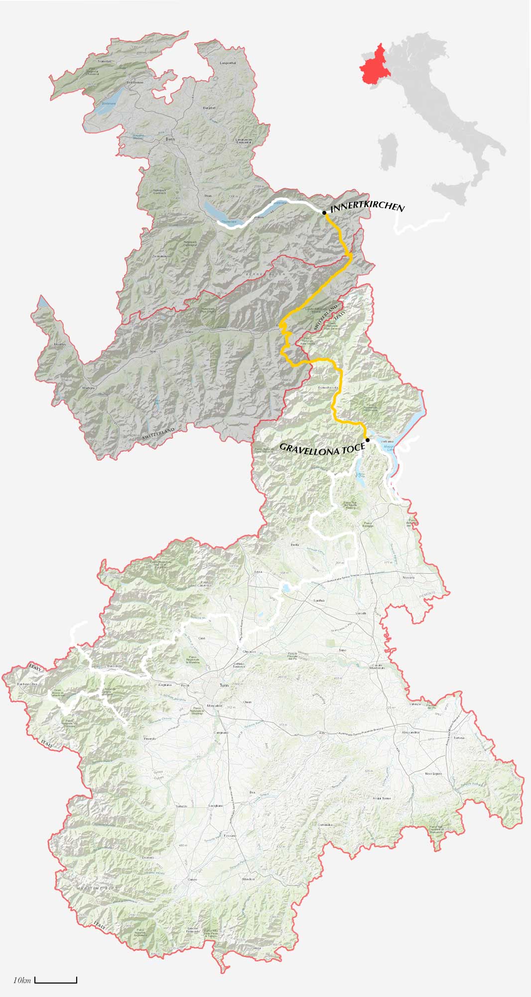
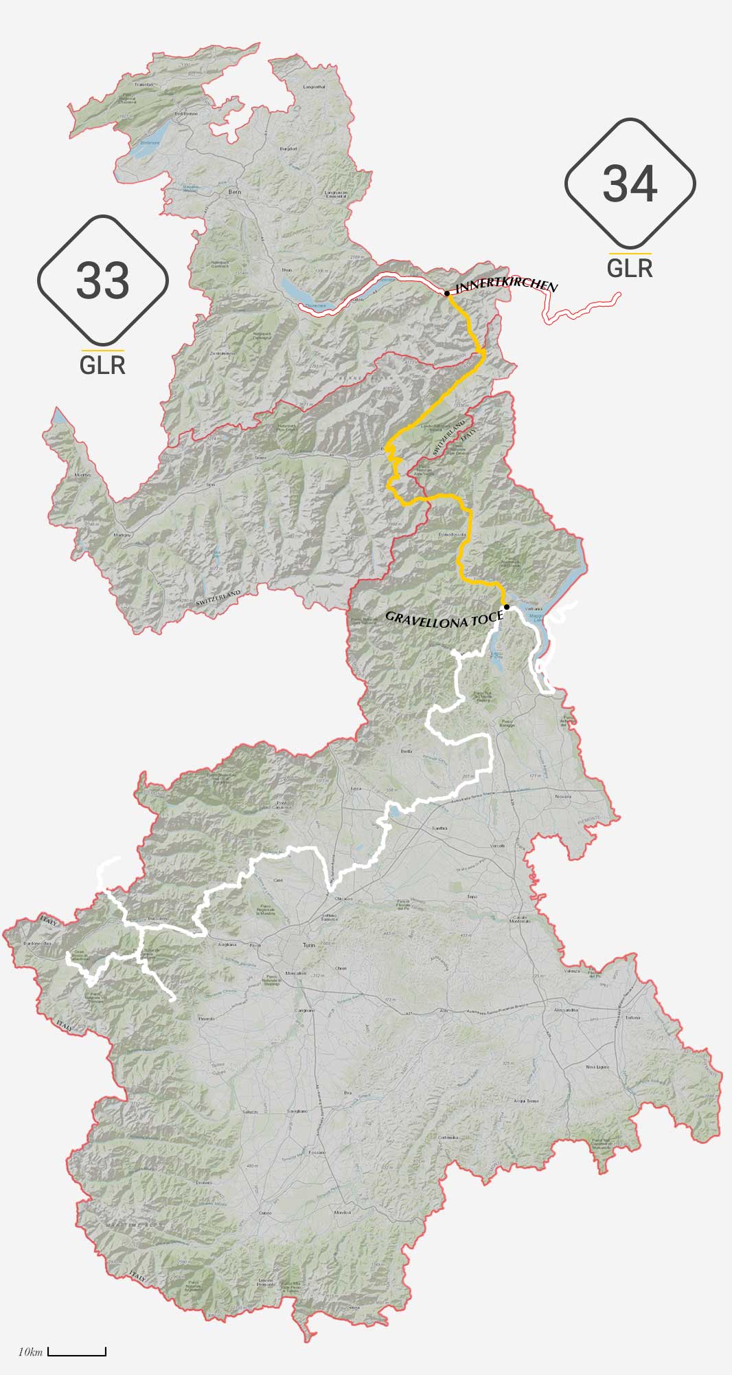
The GLR 32 motorcycle adventure route leads you for over 176 kilometers through the Verbano-Cusio-Ossola regions of Northern-Italy and the Lake Geneva region and Espace Mittelland of Switzerland. With a total of 4 connecting GLRs to this GLR 32, you’re able to continue to Adventurise the region. Let’s get going!
The GLR 32 is a Novice route and can be ridden by any adventure rider. More information about the GLR Route Gradings System.
Route info
It’s time to explore the High Alpine region of northern Italy and southern Switzerland. This GLR 32 motorcycle adventure route leads you from Lake Maggiore up north into the mountains. This 192-kilometer long route doesn’t know any off-road sections due to the strict legislation of the area. Nonetheless, this route explores one of the most scenic regions of central Europe.
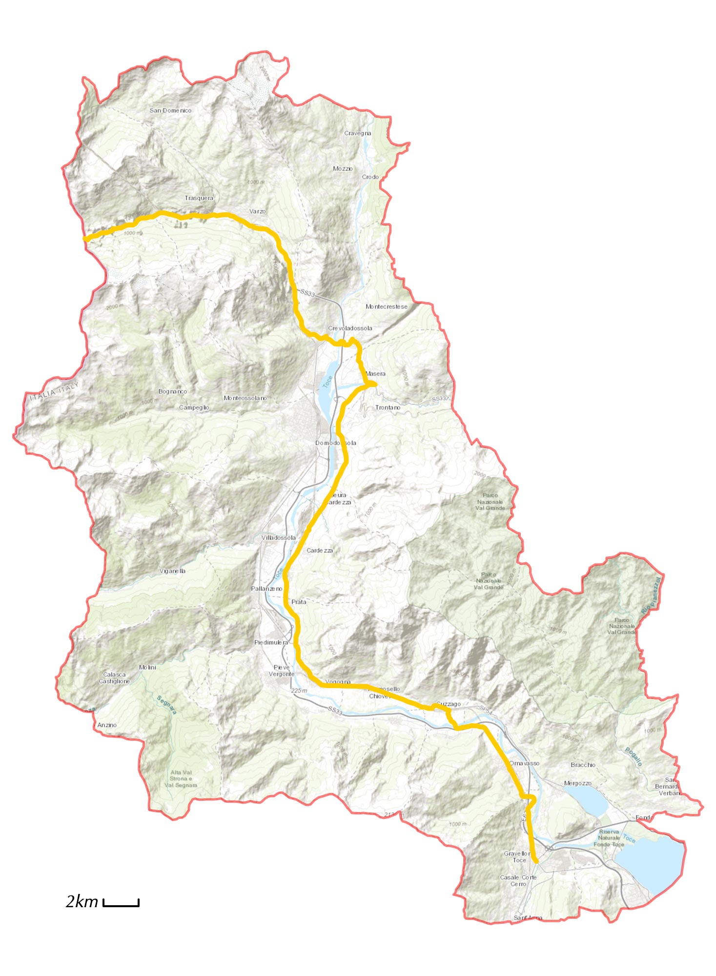
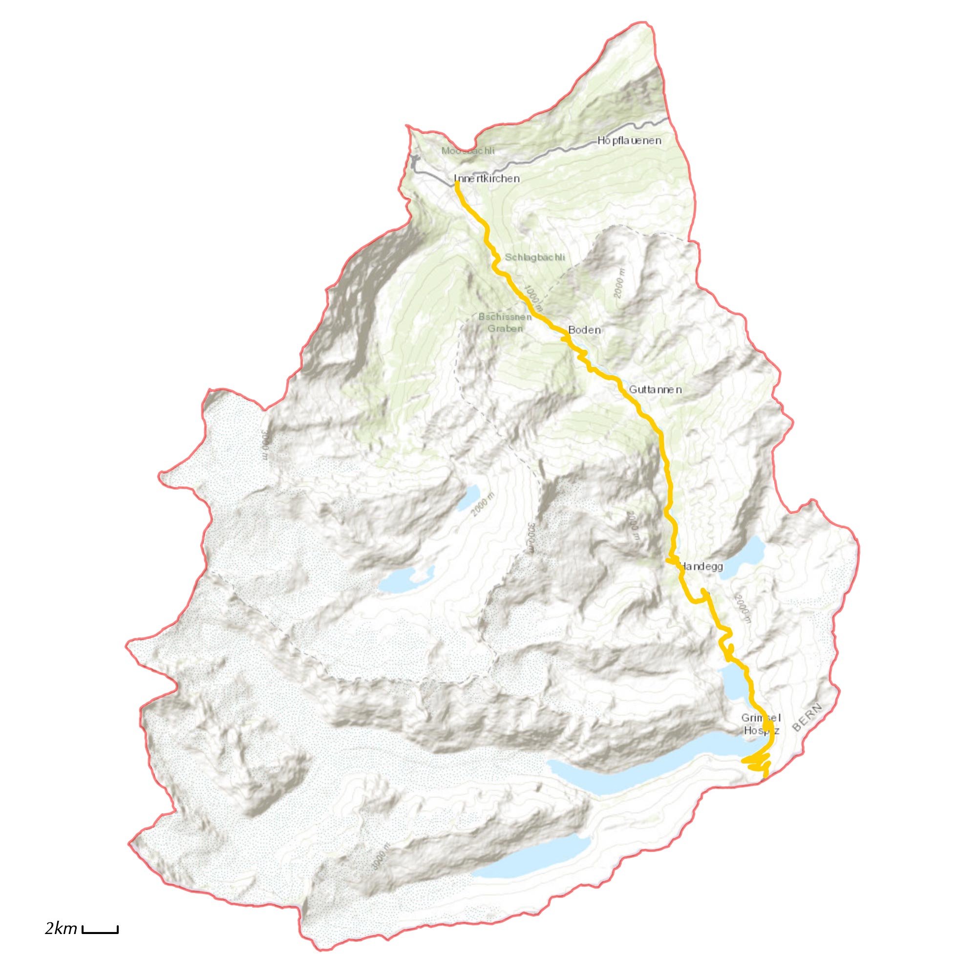
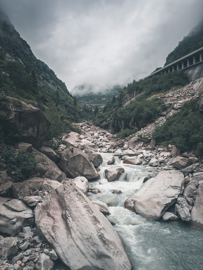
You start your journey at a local village near Lake Maggiore called Gravellona Toce. From here, you follow the river Toce up north. Soon after your departure, the mountains start to rise. After about 15 km you see the Val Grande National Park dawn to your right. This protected area is not populated and is described as “the last wilderness of the High Alps”.
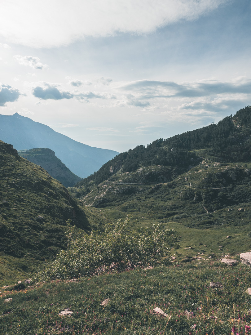
With the river Toce to your side for almost 40 kilometers, you finally cross it just before you head into Switzerland. You’re now in the High Alpine glacial area. With no less than seven glaciers to your left, it’s worth your while, and relax a bit and enjoy the view.
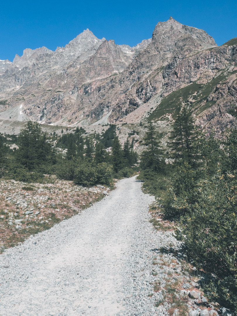
Following your route, you see The Alpe Veglia and Alpe Devero Natural Park to your right with another three alpine glaciers.
After arriving at Brig, the route guides you in the north-east direction. This road again knows many glacial views. At the end of this long stretch, you arrive at Lake Grimsel, a hydroelectric reservoir at an altitude of 1908m.
From there, it’s the last piece to your destination in Innertkirchen. Here you can continue your motorcycle adventure with the GLR 33 to the west and the GLR 34 to the east. For more about the connection routes, please see the link down below.
Piedmont
With the GLR 32, you Adventurise the regions of Piedmont in Italy and Lake Geneva in Switzerland.
The name for this northwestern region of Italy comes from the old Latin and means “ at the foot of the mountains”, and at the foot of the mountains, it is indeed. Almost 45% of the region is mountainous, with the remaining 30% are hills and 25% are plains. Piedmont is the second largest region of Italy, after Sicily.
The region consists of 8 different provinces namely: Cuneo, Turin, Asti, Alessandria, Vercelli, Biella, Novara, Verbano-Cusio-Ossola. Each province has its very distinctive landmarks. Cuneo and Turin are known for their rugged peaks to the west and the plains to the east. As for Vercelli and Novara for its damp rice paddies.
One of the most remarkable features of Piedmont is that it has almost 60 different national parks. With almost 8% of its entire area marked as a protected area, you would think it’s hard to find sufficient routes to Adventurise. Indeed it is, but Piedmont also houses many of the famous roads among the adventure riding community!
The climate of Piedmont differs as extreme as its geological features. The mountainous area in the west knows an alpine climate where snow can be found at altitude until late in summer. The plains to the east are known for their intense heat in summer and milder temperatures in winter. While Adventurising this region, it’s highly recommended to respect the recommended period given for each GLR. Many of the off-road sections are blocked in winter.
Lake Geneva Region
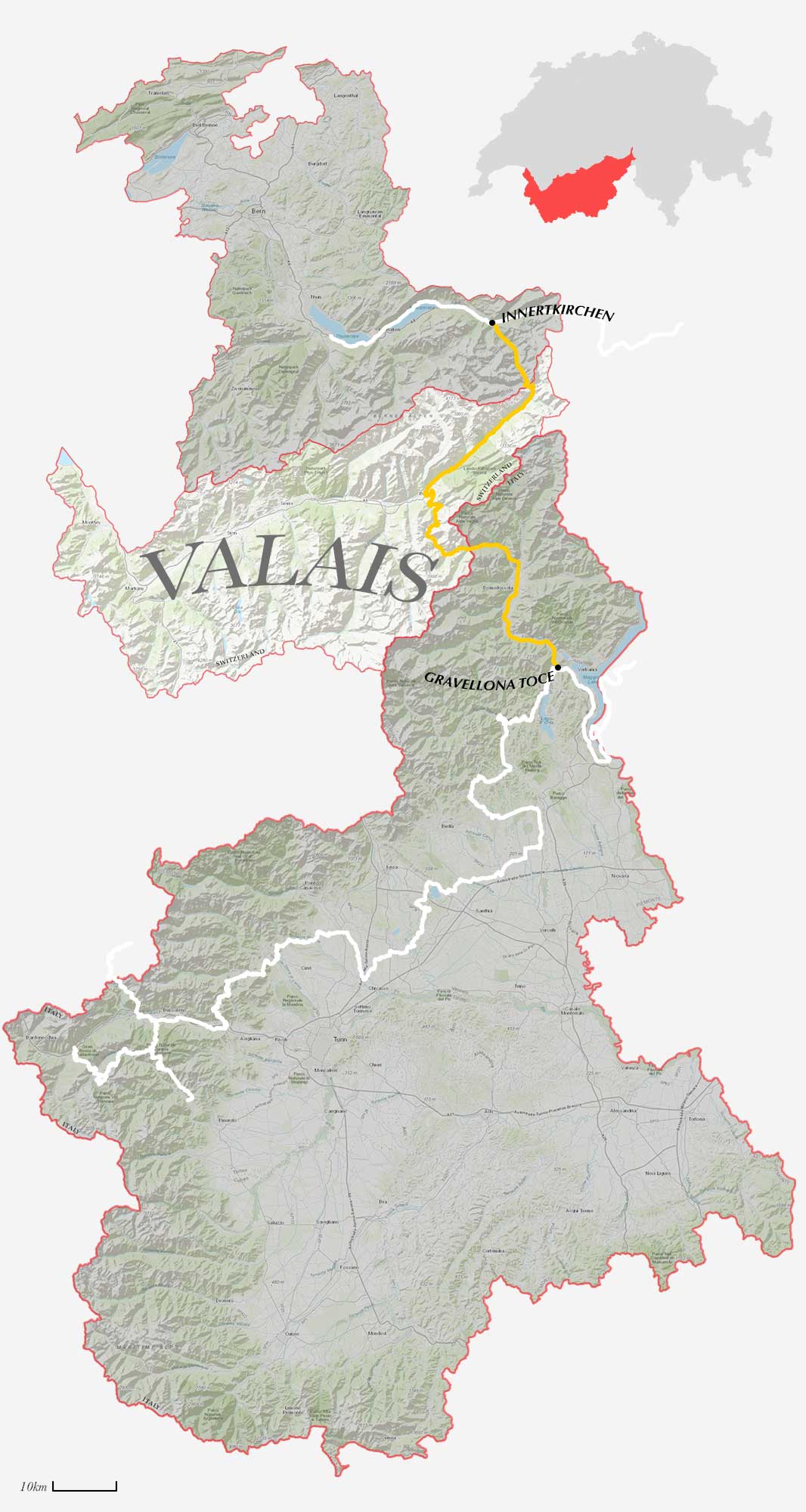
Located in the South-West, you find the Lake Geneva Region of Switzerland. This region encompasses the cantons of Geneva, Vaude, and Valais. Like many other regions bordering the French-Swiss border, this region is bi-lingual. Therefore, this region is also known by its French derivative, the Lemanic Region.
The Canton of Geneva shares 95% of its borders with France. Therefore, most of its population is French-speaking. The main characteristic of this canton is its preserved rural landscape, with its typical Swiss architecture and narrow roads.
The bordering canton of Vaud is the third-largest by the population of Switzerland. The capital Lausanne is officially named the “Olympic Capital” and houses many international sports organizations.
The southernmost canton of the Lake Geneva Region is called Valais. This area is at the same time one of the wettest and driest regions of Switzerland. The Central Rhône valley region is known for its lack of precipitation. While at the same time, the higher altitudes know the highest amount of snow and rainfall in entire Switzerland.
Like all other regions of Switzerland, it’s strictly prohibited to deviate from the paved road. Even when there’s no prohibition sign in front of a gravel road. We need to enjoy Swiss nature from the road, which doesn’t mean that the Lake Geneva Region isn’t worth Adventurising! Visit the region during the hot summer months for a welcome cool breeze at altitude.
Download the GLR 32
Thank you for downloading the GLR 32! Good luck with Adventurising Europe. Speaking of Adventurising Europe, to keep the project going and free, we’re relying on a mix of sponsored advertisements and Adventuriser donations. Do you like what we’re doing and you want to support the project? Please consider a donation. You can read more about donations and support here.
Adventurising Europe
2021 is going to be your year! No more sitting inside waiting for better days. Let’s get out there and explore Europe together. Let’s Adventurise Europe in 2021.
Use the tools like The GLR Network, The Build Stories, and The Field Notes, provided here on the website. Tell me about your plans, difficulties, doubts, or concerns. Let’s work together on a plan for you to Adventurise Europe in 2021.
Connecting Routes
Connections in Gravellona Toce
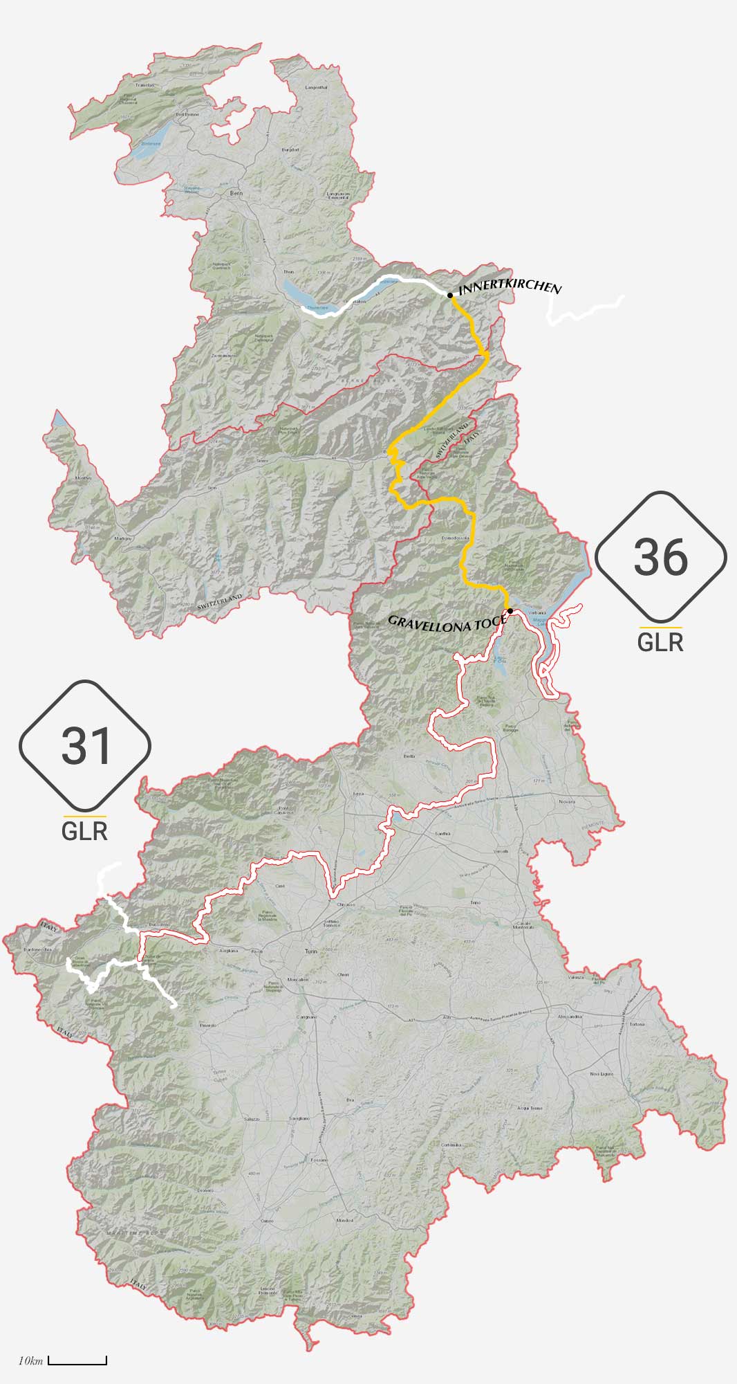
Near Lake Maggiore in Gravellona Toce, you have two options to continue your motorcycle adventure with the GLR Network.
First, take the GLR 36 east and explore the great lakes of Northern Italy. This 341-kilometer long adventure route will navigate you around and shows you the less touristy roads around Lake Maggiore, Lake Lugano, and Lake Como. You end your GLR 36 adventure in Dezzo di Scalve.
Or you take the GLR 31 across the planes surrounding Turin and right back up into the High Alpine region of the Susa Valley. This 342-kilometer long route will take you south-west. With 62.4 kilometers of off-road sections, this GLR will lead you right into the prime region of adventure motorcycle riding. You end your adventure right on top of Colle Delle Finestre.
Connections in Innertkirchen
At the end of this GLR 32, you have two options to continue your motorcycle adventure.
To the west, the GLR 33 leads you via on-road sections to the base of the Mont Blanc in Passy. This 250-kilometer long route will show you around the High Alpine landscape of Switzerland. This GLR crosses the border into France on the last section of the route.
Traveling to the east at Innertkirchen, you find the GLR 34. This route follows the High Alpine mountain range to the east. This 350-kilometer long route explores the entire south of Switzerland. Choose this GLR instead of the southern option during high temperatures in summer. The GLR 34 ends at the Tunnel Munt La Schera near the border with Italy.
Become an Adventuriser
More Places
Become a Patreon
Support Going Limbo Monthly
Become a GLR Patreon member and receive access to the newest 5 GLRs before everybody else!
