The GLR 34
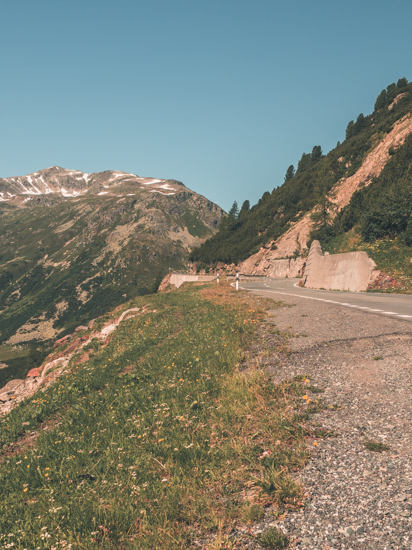
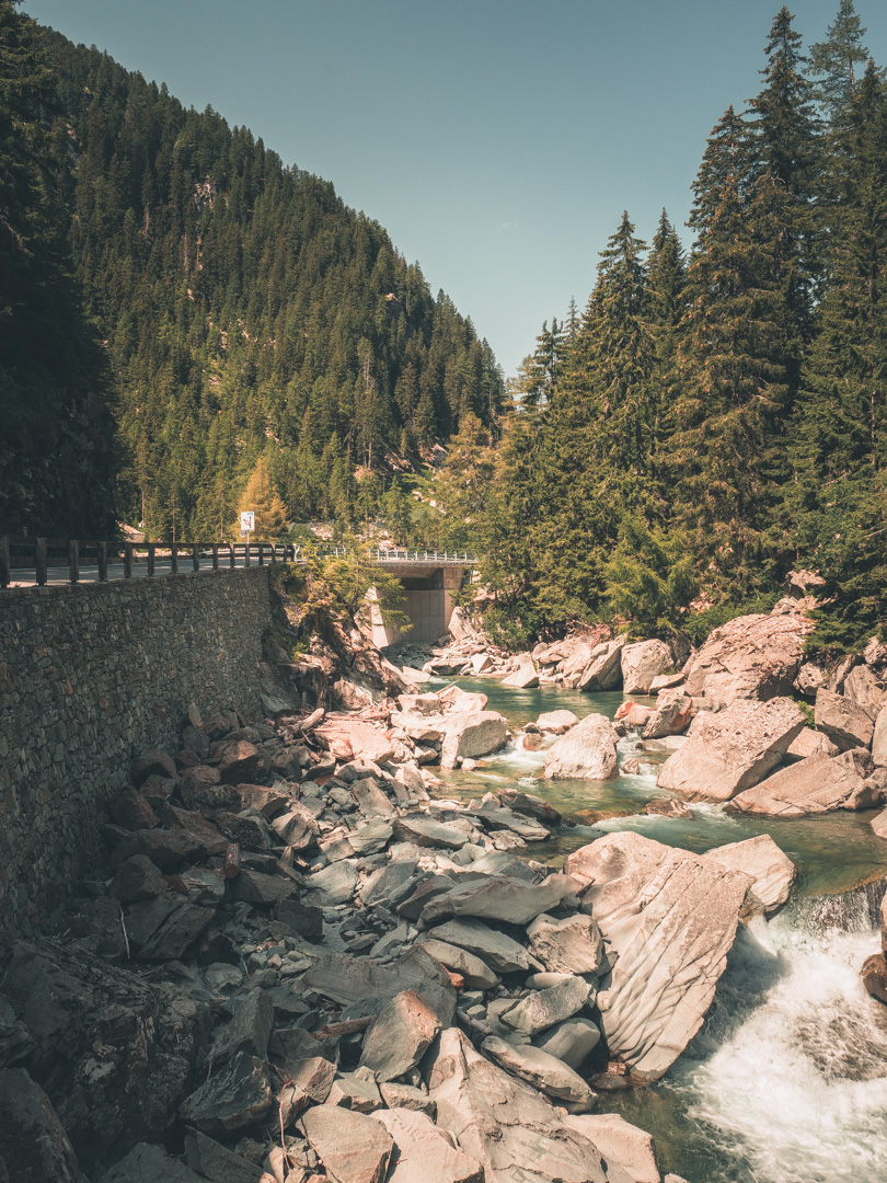
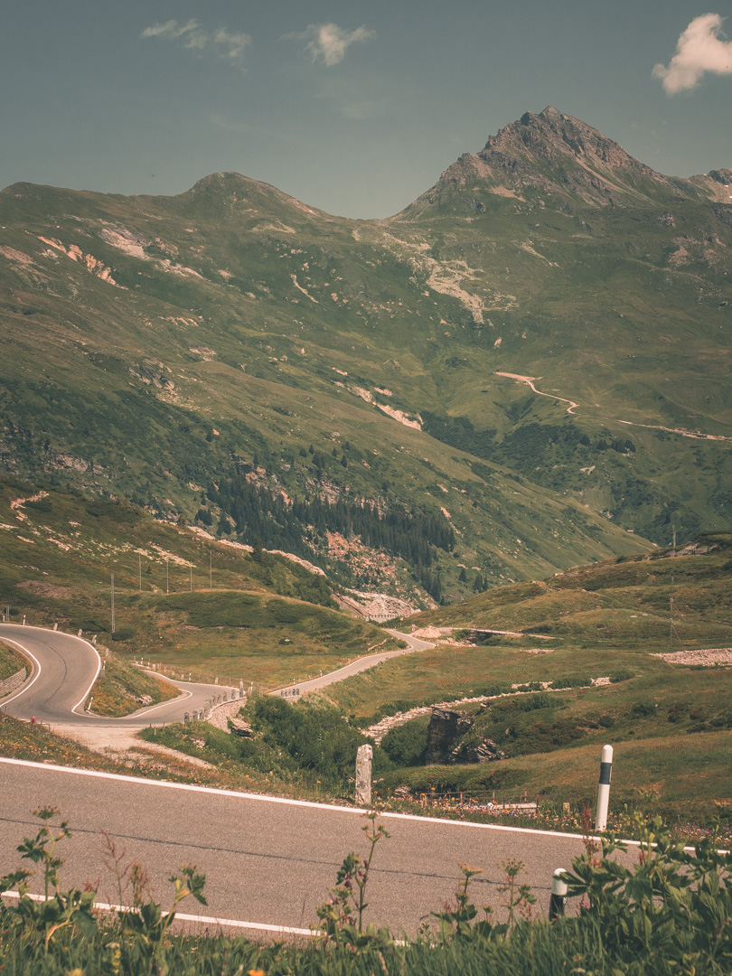
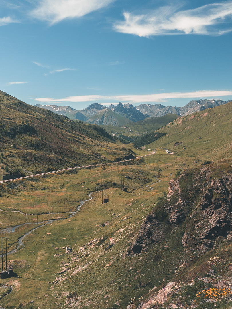
350 kilometers of high altitude mountain passes through the Rhaetian Alps of Eastern-Switzerland. What do you want more? Start your motorcycle adventure now with this adventure route!
The GLR 34 “Eastern Switzerland Route”
| Tunnel Munt La Schera - Innertkirchen | 350km | ||
| 0km off-road | May / September |
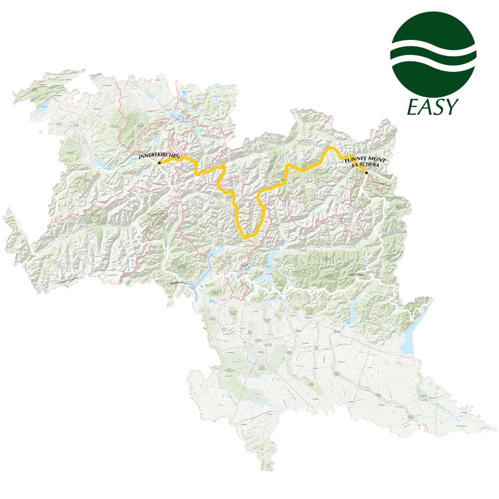
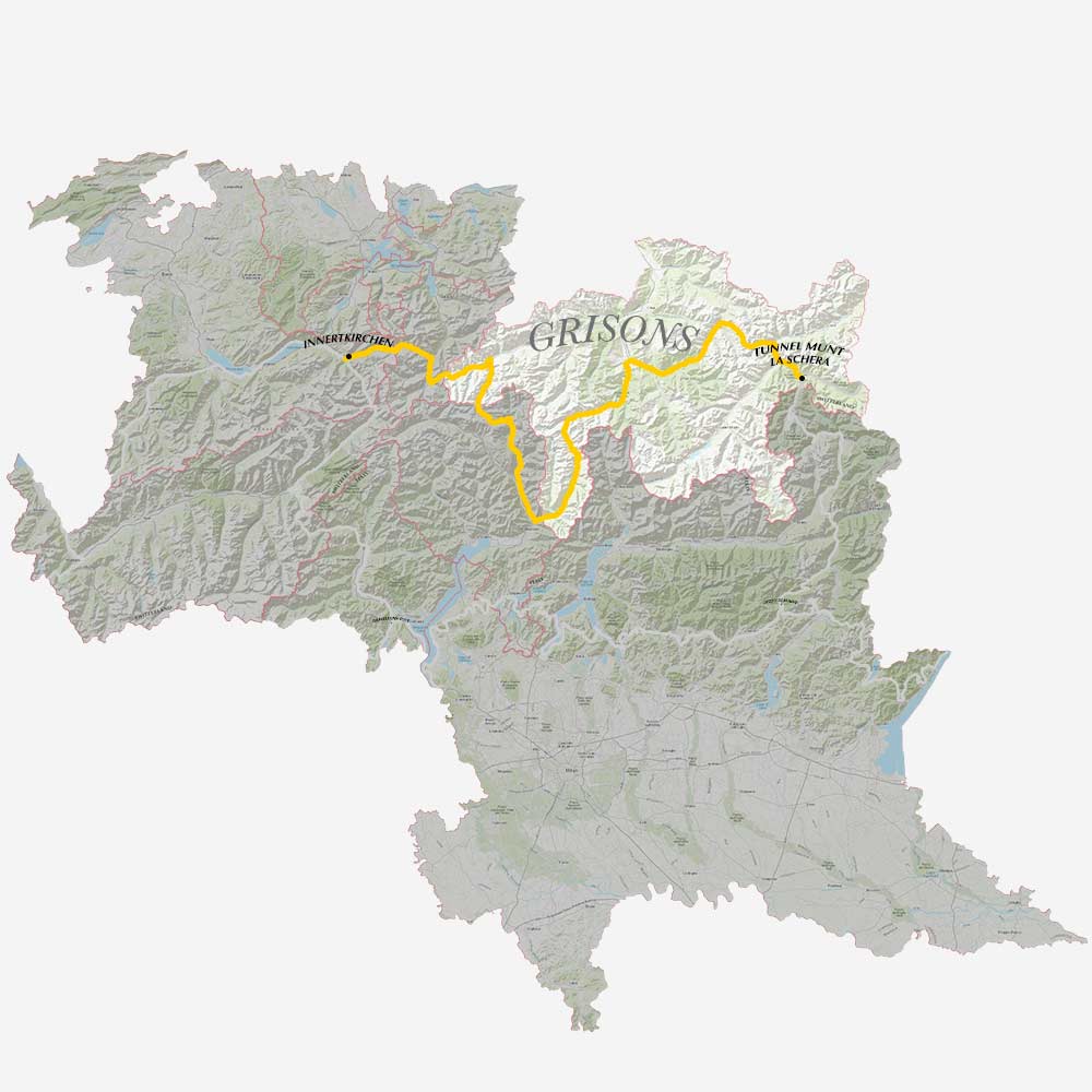
The GLR 34 motorcycle adventure route leads you for over 350 kilometers through the Grisons and Ticino regions of Switzerland. With a total of 4 connecting GLRs to this GLR 34, you’re able to continue to Adventurise the region. Let’s get going!
The GLR 34 is an easy route and can be ridden by any adventure rider. More information about the GLR Route Gradings System.
Route info
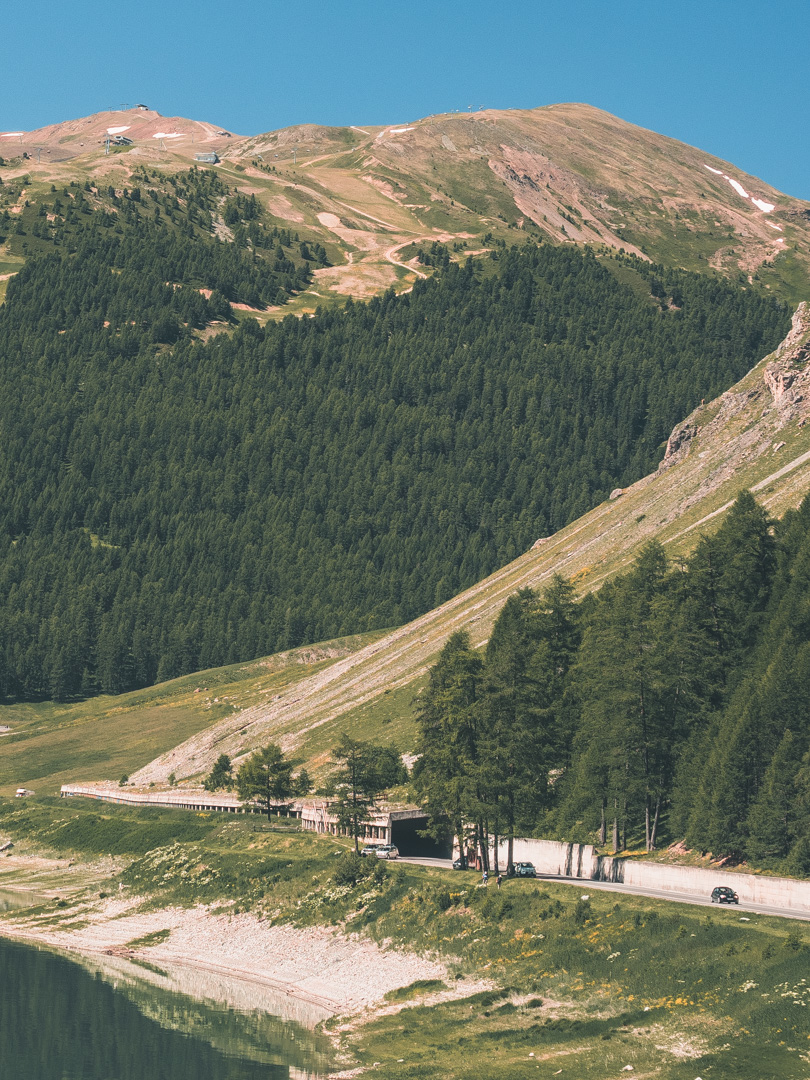
Here you are, standing and the entrance op Tunnel Munt La Schera. Your destination lies to the west. Are you in for a great number of mountain passes? Great! Because the GLR 34 is going to guide you for over 350 kilometers.
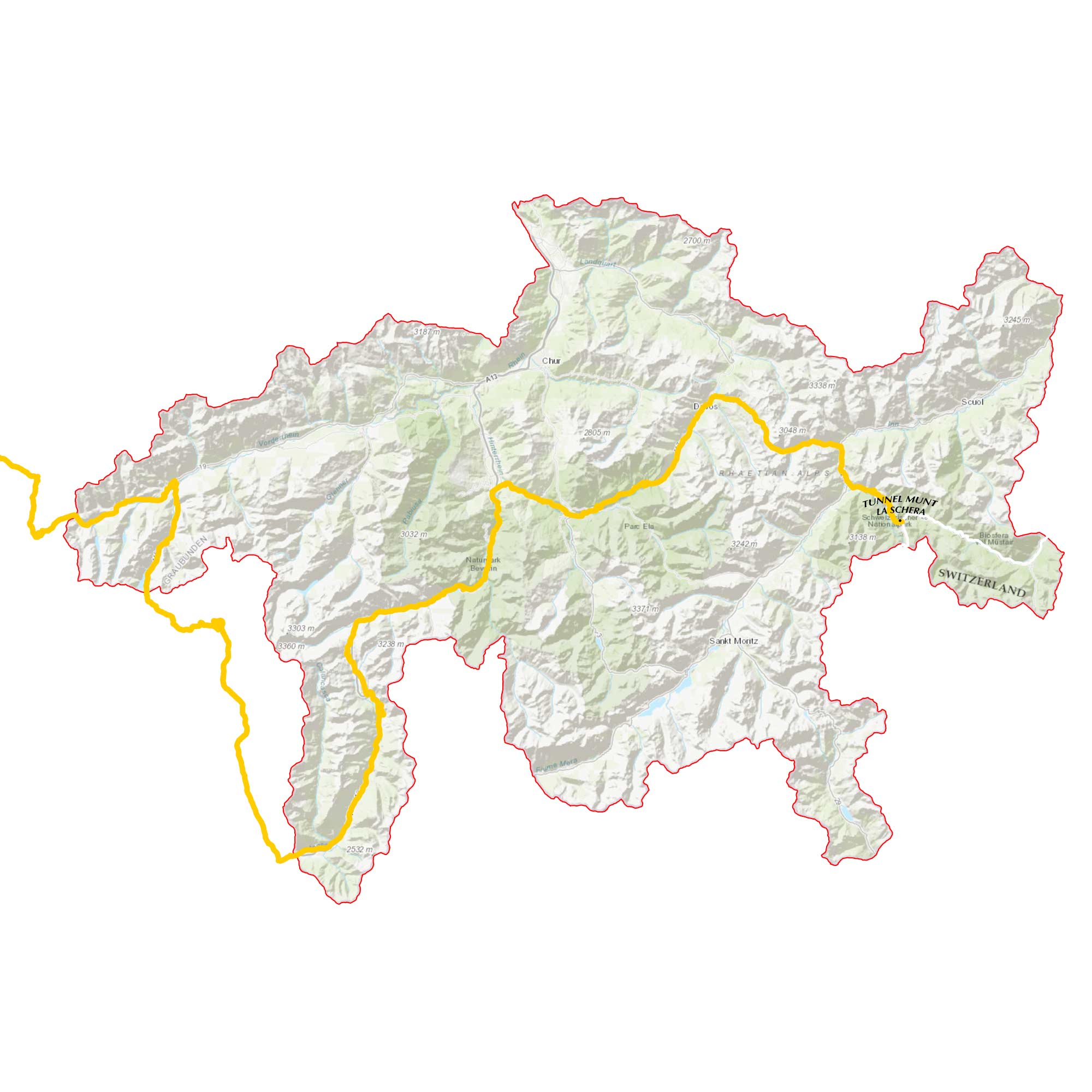
As said, the GLR 34 starts at the entrance of Tunnel Munt La Schera. From here you depart on your journey west. After already 30 kilometers you find yourself on the winding roads of the Flüela Pass. Although it’s no longer the main road connection between Davos and Susch, it’s a much better alternative than the Vereina Tunnel. Because of the opening of this tunnel, the Flüela Pass is no longer guaranteed to be open all year round.
With the first mountain pass behind you, you continue your journey through the Rhaetian Alps. You make a turn to the south at Thusis. It’s here where you explore the natural beauty of Beverin Nature Park.
This turn to the south leads you towards the next mountain pass named the San Bernardino Pass. This high mountain pass connects the Hinterrhein and Mesolcina valleys. Its highest elevation is 2066m and therefore can be closed during the winter months.
At the southernmost point of the GLR 34 at Arbedo-Castione, you turn your direction up north again. It’s here where you follow the winding roads past Lake da Sontga Maria up until Disentis.
After Disentis the last stretch of the GLR 34 leads you to the infamous Susten Pass. This pass, built from 1938-1945, connects Innertkirchen and Wassen. At a maximum altitude of 2224m, this last mountain pass gives you a beautiful vista of the surrounding region.
At Innertkirchen your GLR 34 adventure comes to an end. To continue your adventure, please see the connections section down below!
The Grisons is the largest canton in Switzerland. It’s also part of the three Alpine cantons, together with Tessin and Valais. Grisons, which mean the “Big Grey” in the Romansh language, referring to the canton’s origin in three local alliances. The official language besides German and Italian is Romansh. The majority of Grison’s population lives in the mountains, therefore the canton knows only one big city namely Chur.
For us as adventure riders, Grisons is a dream to explore. Although off-road riding is strictly forbidden, there are enough natural parks to enjoy by road. With the geological park to the north, called Swiss Tectonic Arena Sardona, to the Swiss National Park to the south, the entire surface of Grisons is mountainous.
Besides the amount of natural Park in the region, Grisons counts no less than 27 mountain passes. With the highest at 2645m, the Lunghin Pass is one of the many above 2000 meters. Although the Swiss have mastered road building and maintenance, some of these passes will be closed during the snow months.
Tessin Region
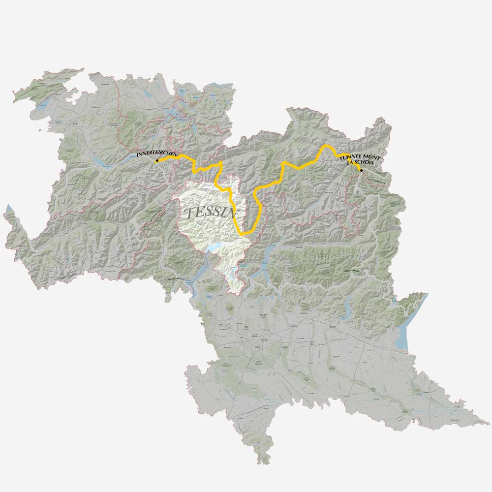
Tessin is the southernmost canton of Switzerland. Along with the cantos of Valais and Grisons, Tessin is one of the large Alpine Cantons. Named after the river Ticino, it’s the only canton where Italian is the sole official language. Tessin is known as a major tourist destination because of its cuisine and relatively warmer climate around Lake Maggiore and Lake Lugano.
The region is widely known for its road, railway, and tunnel network. Nobody builds roads like the Swiss. Because of Tessin’s unusual location, the region relies heavily on its infrastructure. One major achievement of the Swiss is the Gotthard Railway Tunnel, which opened in 1882. Later in 2016, the Gotthard Base Tunnel was the first flat route through the Alps!
Amongst all these infrastructure achievements, the mountain passes are the most important for us as adventure riders. The region knows several high passes over 2000 meters.
Tessin knows an alpine climate but is relatively moderate. The region is known in the rest of Switzerland by its nickname ‘Sonnenstube’ which means ‘sun porch’. This is because Tessin enjoys more than 2300 hours of sunshine each year.
Download the GLR 34
Thank you for downloading the GLR 34! Good luck with Adventurising Europe. Speaking of Adventurising Europe, to keep the project going and free, we’re relying on a mix of sponsored advertisements and Adventuriser donations. Do you like what we’re doing and you want to support the project? Please consider a donation. You can read more about donations and support here.
Adventurising Europe
2021 is going to be your year! No more sitting inside waiting for better days. Let’s get out there and explore Europe together. Let’s Adventurise Europe in 2021.
Use the tools like The GLR Network, The Build Stories, and The Field Notes, provided here on the website. Tell me about your plans, difficulties, doubts, or concerns. Let’s work together on a plan for you to Adventurise Europe in 2021.
Connecting Routes
Connections in Innertkirchen
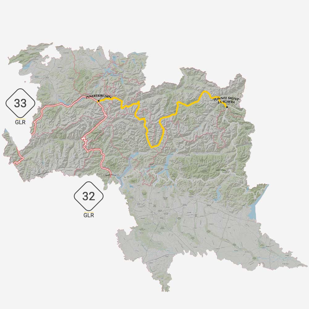
In the little town of Innertkirchen, your motorcycle adventure doesn’t need to end! It’s here where you can continue your journey to the west with the GLR 33. This route leads you over various mountain passes towards Mont Blanc. Choose this 250-kilometer long adventure route if you want to explore the Swiss High Alps.
If you want to head south, take the GLR 32. This 176km long GLR leads you into Italy and ends at Lake Maggiore in Gravellona Toce. Choose this route if you want to head into Italy, or lower grounds. Keep in mind that during summer the temperatures may differ significantly at altitude.
Connections at Tunnel Munt La Schera
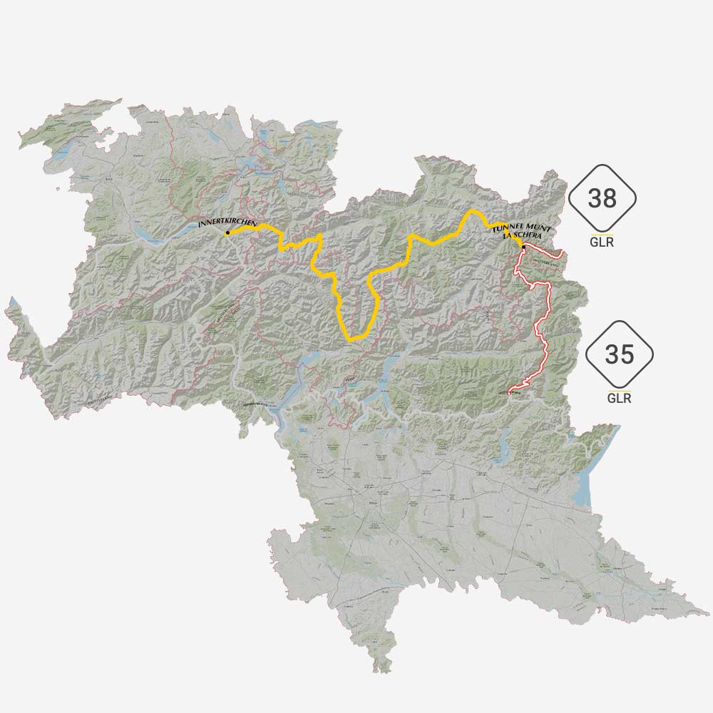
On the far side of the GLR 34 at Tunnel Munt la Schera, you have two options to continue your motorcycle adventure. First, follow the tunnel into Italy with the GLR 35. It’s here where you ride amongst Lake Livigno into the tax-free region of Livigno. From Livigno on, you travel south towards Dezzo di Scalve where this 161km long GLR ends.
Or you continue your journey to the east with the GLR 38. This route explores the Italian Dolomites. Expect some scenic vistas with this route through Stelvio National Park. You end this adventure route at Canazei in the heart of the Dolomites.
Become an Adventuriser
More Places
Slovenia
Become a Patreon
Support Going Limbo Monthly
Become a GLR Patreon member and receive access to the newest 5 GLRs before everybody else!
